• About Us
    • Greenbelt History
    • Meet the Staff
    • Meet the Board
    • Jobs
    • Board of Directors Recruitment
    • Contact
  • Conserving Land
    • Properties Protected
    • Conservation FAQ
    • Landowner Contact Form
    • Stewarding Land
  • Support Us
    • Become a Member
    • Estate Planning
    • Stock Donations
  • Get Involved
    • eNews Sign-Up
    • Events
    • Newsletter & Annual Report
    • Volunteer
    • Community Voices
    • Current Trail Closure Information
    • Mighty Acorns Kids Club
  • Donate

Drones + Restoration

Matt and Intel Pilot Horseshoe Lake Sometimes you need to get a better view.

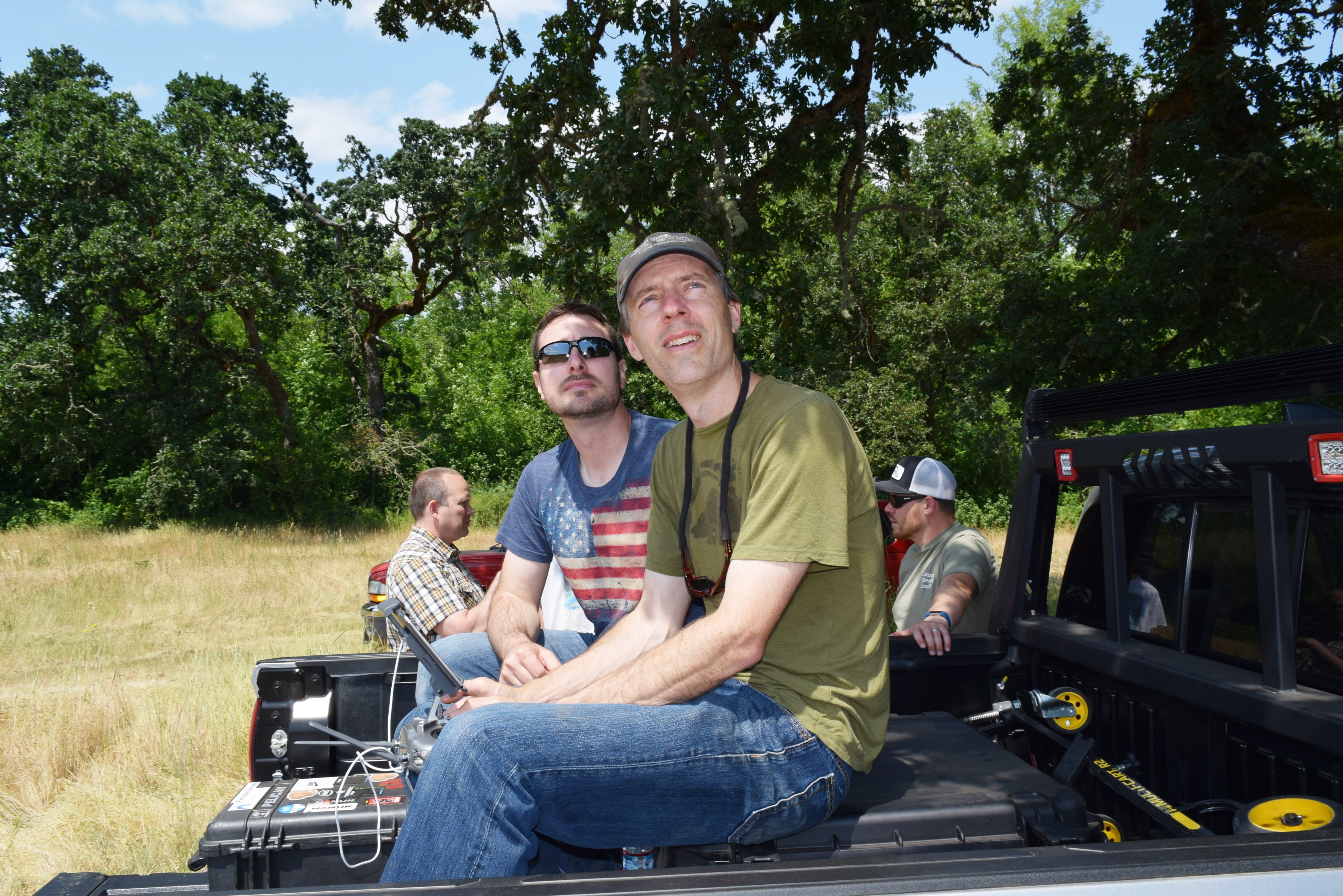
Since the first aerial images were taken in the Willamette Valley in 1936, organizations like Greenbelt have utilized these images to get a birds-eye view of our work. With the recent emergence of professional drone operators, staff have been able to hone into our restoration projects even further.
When you’re planting hundreds of thousands of trees, it can be pretty handy to get above the treetops to see how your plantings are doing! Drone footage has helped staff understand the dynamics of a river system, analyze success rates of new plantings, and track management over time.

Special thanks to Intel Corporation for financing a drone to help track ongoing floodplain restoration!

Contact Information

Footer Social Icons

Footer Office Location

Office Location:
101 SW Western Blvd., Ste. 111
Corvallis, OR 97333
Ph: 541-752-9609

Mailing Address

Mailing Address:
PO Box 1721
Corvallis, OR 97339

  • BOARD LOGIN